Current Weather @ 8:25 PM overcast - light drizzle Temp 36.8º Humidity 94% Winds NW 2.0mph Max Gust 23.0mph
Todays Extremes High 40.5º Low 35.9º Rain 0.10" Rain Rate 0.012" per hr Snow 0.00" Season 6"
ALERTS (click alert for more info)
None at this time
Welcome
Username:

Password:


Remember me

[ ]
[ ]
SUPPORT SCM!
Support SCM by making a single or recurring donation.


ROADS AND TRAFFIC
Updated: 08:30 PM v2.5
Run Spr to Highland  (330): 22 mins  
Highland to Run Spr  (330): 21 mins  
Big Bear to Run Spr    (18): 24 mins  
Run Spr to Big Bear    (18): 24 mins  
Big Bear to Redlands  (38): 69 mins  
Redlands to Big Bear  (38): 68 mins  
Big Bear to Lucerne    (18): 34 mins  
Lucerne to Big Bear    (18): 36 mins  
=Light  =Moderate  =Heavy Traffic
Road Conditions Page: Click Here
Online
Guests: 407, Members: 5 ...
Chrissy
Muni_Captain
-WINGNUT-
MrOwl
SocalSnowMan

most ever online: 3772
(Members: 27, Guests: 3745) on Feb 26 23: 07:51am

Members: 9510
Newest member: CynthiaC
Member's Birthdays:

Upcoming Birthdays:
Jan 06 Sawmama
Jan 06 Aaron
Jan 07 scubadog
Jan 07 cabingirl
Jan 08 Clint
Jan 08 Denny59
LATEST INCIDENTS (DETAIL)


NO MAP IS AVAILABLE NOT ENOUGH INFORMATION

SAT JAN 3, 2026, 9:05 PM
TRAFFIC HAZARD
RUNNING SPRINGS
3900 BLOCK OF HIGHWAY 330 S MILE MARKER 39.00
9:03PM [2] BOULDER IN SOUTH BOUND LANES APPROX 4 MILES ABOVE THE ROCK SLIDE LOG IN0655
UNITS RESPONDING: CHP (CHP)
NOTES:
TRAFFIC HAZARD-TRAFFIC HAZARD 3900 HIGHWAY 330 S MILE MARKER 39.00
**ALERT** REPORTED ROCKS IN ROADWAY
**ALERT** REPORTED BOULDER IN ROADWAY
**CAUTION** ROCK AND/OR DEBRIS SLIDE
WEATHER AT INCIDENT: 48 DEGREES WITH 95% HUMIDITY. WINDS ESE AT 5 MPH. PRECIP: NONE
(SOCALMOUNTAINS.COM CAD v13.1)


PHOTOS & MAPS:  

SCM Incident Map
Incident Street View
SCM Incident Map
Incident Satellite Map


INCIDENT UPDATES: 0   


SCANNER AUDIO IS NOT AVAILABLE FROM THIS HOUR


Chatbox
You must be logged in to post comments on this site - please either log in or if you are not registered click here to signup


SCM ALERT🚨
31 minute(s) ago
[INCIDENT DISPATCH]
TU /TRAFFIC COLLISION WITH UNKNOWN INJURIES IN BARTON FLATS - EB HWY MM BARTON FLATS
DETAILS: [Click Here]

SCM ALERT🚨
52 minute(s) ago
NWSSANDIEGO
Flood Advisory issued through 9:16 PM, including Mt. Baldy Village and parts of the Bridge burn scar. #CAwx [Click Here]

Walkermuggz
1 hour(s) ago
McToddy, It looked like they are doing pretty good down there considering the recent past. Camp Ranford, had temp bridges in place. We were able to drive all the way down but couldn’t take middle control back up. The bridge down there is gone. Other than that they seem to be getting things back together. Time will be needed.

McToddy
2 hour(s) ago
Saw road closed signs at Jenks West, Jenks East and Glass road on Friday when I came up the hill. Currently, Google Maps says Jenks Road is closed until 1/15, but no explanation... But Glass road now appears to be open.

Walker how was 7 Oaks? I hope they're doing good

Walkermuggz
2 hour(s) ago
We drove as far as Jenks lake rd east. Drove up jenks and came down the 38.

Walkermuggz
2 hour(s) ago
All the temp bridges were in place when we were in 7 oaks this morning around 10:00 10:30am.

spectr17
2 hour(s) ago
McToddy, where did you see a closure on jenka lake rd?

I havent heard of any blow outs there. Let me check.

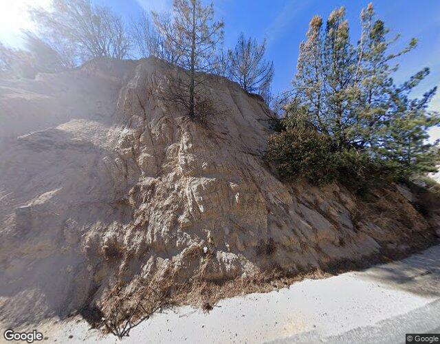
7 oaks had their 2 temp dirt bridges blown out, then repaired, then blown out again in this storm. The temp culverts get washed downstream 50 yds

CHECK-SIX
2 hour(s) ago
330/18traffic backing up
Rollover at Arrowbear 30 min ago
Traffic closed both directions
Extrication

Doggie Daddy
3 hour(s) ago
Well, 33 under the front deck. 38 out back.

Doggie Daddy
3 hour(s) ago
We're starting to see a few flakes ❄ mixed into the rain...💧 33 degrees in Bear City

SCM ALERT🚨
4 hour(s) ago
WEATHER UPDATE:
Big Bear City is now reporting RAIN. Temp 36F

SCM ALERT🚨
6 hour(s) ago
[ WEATHER UPDATE]
A heavier band of showers is making its way through the mountains from Crestline to Running Springs to Big Bear.

SCM ALERT🚨
6 hour(s) ago
[CHP DISPATCH] CRESTLINE - SLIDE ON ROADWAY 2020 HIGHWAY 18 N MILE MARKER 20.20
UPDATES: [Click Here]

SCM ALERT🚨
8 hour(s) ago
[INCIDENT DISPATCH]
TU /TRAFFIC COLLISION WITH UNKNOWN INJURIES IN SUGARLOAF - BEAR HOLLOW RD & S SAWMILL DR SUGARLOAF
DETAILS: [Click Here]

SCM ALERT🚨
8 hour(s) ago
WEATHER UPDATE:
Big Bear City is now reporting RAIN. Temp 38F


Latest Forum Posts
Posted by SilentSky in GENERAL DISCUSSION
Figured out another way to get the videos to post…https://ring.com/share/ 75a4c3 (Jan 04 26: 05:00am)

Posted by SilentSky in GENERAL DISCUSSION
Go figure…Here’s four more, again note the timestamps: (Jan 04 26: 04:29am)

Posted by SilentSky in GENERAL DISCUSSION
Since I could not post to chat from my iPad & had to use my iPhone, I’ll try (Jan 04 26: 04:27am)

Posted by SilentSky in GENERAL DISCUSSION
Why won’t media upload???Attaching the same way I’ve done in the past… (Jan 04 26: 04:05am)

Posted by SilentSky in GENERAL DISCUSSION
Here’s some screenshots, note the timestamps: (Jan 04 26: 04:04am)

Posted by SilentSky in GENERAL DISCUSSION
OK, the videos didn’t upload - Here’s a link to Nextdoor: https://nextdoor.com/p (Jan 04 26: 03:46am)

Posted by SilentSky in GENERAL DISCUSSION
I figure I’d post this here since I wasn’t allowed to post this to Ring, as it w (Jan 04 26: 03:21am)

Posted by SocalSnowMan in GENERAL DISCUSSION
I am just curious what the current crowd is like in the Big Bear Valley. We tend (Jan 02 26: 12:36pm)


(C)2002-2025 Socalmountains.com
All Rights Reserved
Privacy Policy Terms of Service
Contact Us

{THEMEDISCLAIMER}